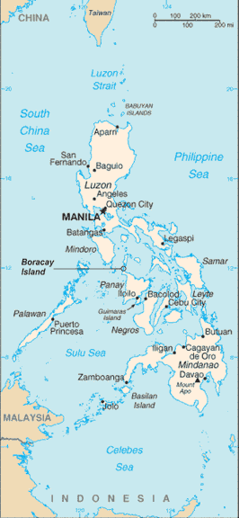
Fil:RPmap+Boracay.gif
Från Rilpedia
Filhistorik
Klicka på ett datum/klockslag för att se filen som den såg ut då.
| Datum/Tid | Miniatyrbild | Dimensioner | Användare | Kommentar | |
|---|---|---|---|---|---|
| nuvarande | 15 juli 2006 kl. 02.03 |  | 266×576 (19 kbyte) | Wtmitchell | (Philippine map with location of Boracay Island indicated Philippine map sourced from CIA World Factbook (Public Domain) Boracay Island indication added by myself) |
Fillänkar
Följande sida länkar till den här filen:
