Fil:Map of Washington County Ohio With Municipal and Township Labels.PNG
Från Rilpedia
Storlek på förhandsvisningen: 800 × 558 pixel
Högupplöst version (891 × 621 pixel, filstorlek: 62 kbyte, MIME-typ: image/png)
Filhistorik
Klicka på ett datum/klockslag för att se filen som den såg ut då.
| Datum/Tid | Miniatyrbild | Dimensioner | Användare | Kommentar | |
|---|---|---|---|---|---|
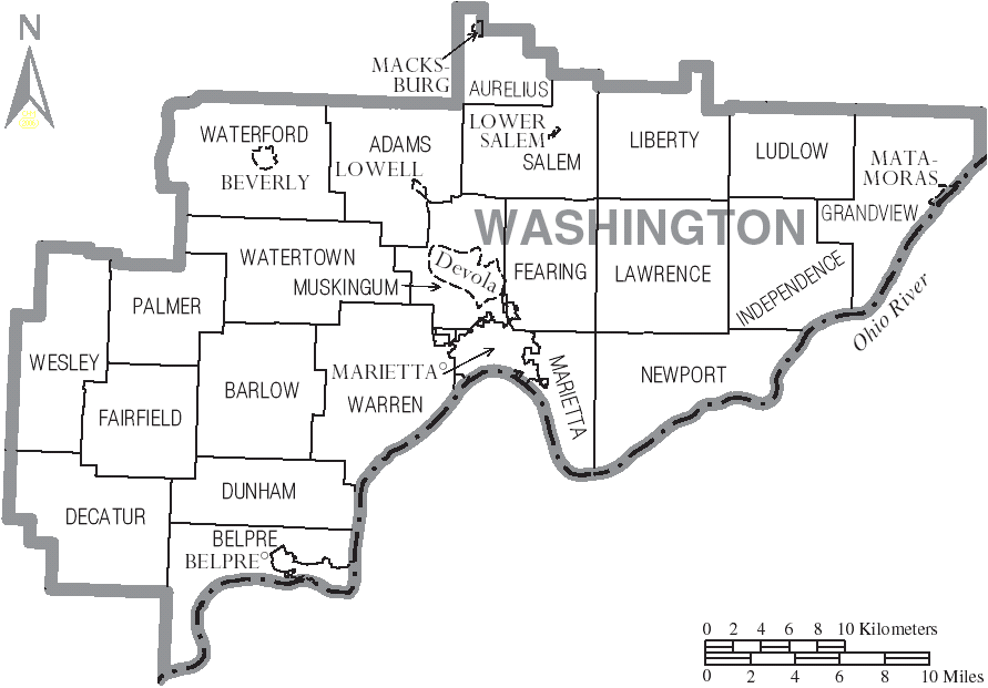
| nuvarande | 3 juli 2006 kl. 20.24 | | 891×621 (62 kbyte) | Ruhrfisch | ({{Information| |Description= Map of Washington County, Ohio, United States with township and municipal boundaries |Source= taken from US Census website [http://www2.census.gov/geo/maps/general_ref/cousub_outline/cen2k_pgsz/oh_cosub.pdf] and modified by [) |
Fillänkar
Följande sida länkar till den här filen: