Fil:Gill ma highlight.png
Från Rilpedia
Det finns ingen version med högre upplösning.
Gill_ma_highlight.png (788 × 466 pixel, filstorlek: 54 kbyte, MIME-typ: image/png)
Filhistorik
Klicka på ett datum/klockslag för att se filen som den såg ut då.
| Datum/Tid | Miniatyrbild | Dimensioner | Användare | Kommentar | |
|---|---|---|---|---|---|
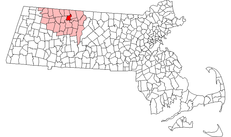
| nuvarande | 2 september 2007 kl. 10.13 | | 788×466 (54 kbyte) | File Upload Bot (Petros63) | ( {{Information|Description=Map of Massachusetts towns with Gill highlighted (red) inside Franklin County (light red).|Source=Original outline map from [http://libremap.org/data/boundary/ Libre Map Project]|Date=2007-04-15|Author=Justin H. Petrosek|Permiss) |
Fillänkar
Följande sida länkar till den här filen: