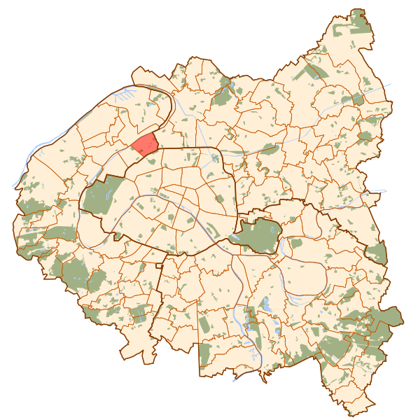
Fil:Clichy map.svg
Från Rilpedia
Clichy_map.svg (SVG-fil, grundstorlek: 1 552 × 1 586 pixel, filstorlek: 540 kbyte)
Filhistorik
Klicka på ett datum/klockslag för att se filen som den såg ut då.
| Datum/Tid | Miniatyrbild | Dimensioner | Användare | Kommentar | |
|---|---|---|---|---|---|
| nuvarande | 10 oktober 2006 kl. 12.01 |  | 1 552×1 586 (540 kbyte) | Metropolitan~commonswiki | (Map of Paris and its inner ring départements, localization of Clichy (Author: Metropolitan). Category:Locator maps for municipalities of Hauts-de-Seine) |
Fillänkar
Följande sida länkar till den här filen: