Fil:Ida-Viru municipalities.png
Från Rilpedia
Storlek på förhandsvisningen: 800 × 548 pixel
Högupplöst version (959 × 657 pixel, filstorlek: 41 kbyte, MIME-typ: image/png)
Filhistorik
Klicka på ett datum/klockslag för att se filen som den såg ut då.
| Datum/Tid | Miniatyrbild | Dimensioner | Användare | Kommentar | |
|---|---|---|---|---|---|
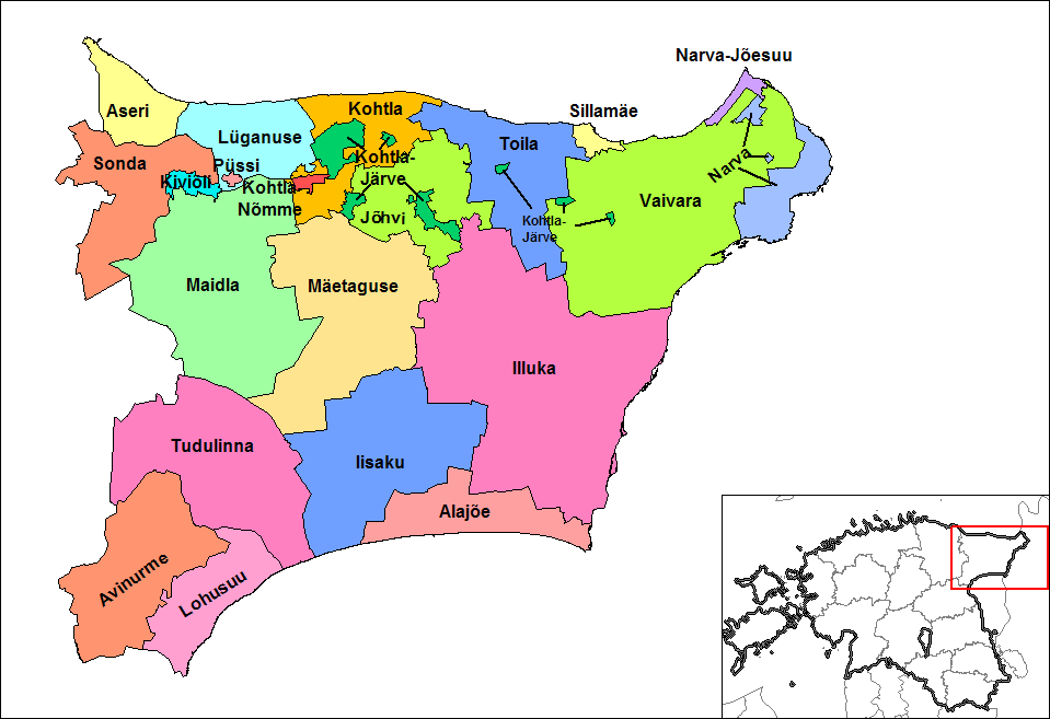
| nuvarande | 9 november 2017 kl. 13.27 | | 959×657 (41 kbyte) | RoMex | (Reverted to version as of 15:25, 31 May 2011 (UTC), This map now illustrates historic municipal divisions prior to the 2017 reform.) |
Fillänkar
Följande sida länkar till den här filen: