Fil:Firthofclydemap.png
Från Rilpedia

Storlek på förhandsvisningen: 531 × 600 pixel
Högupplöst version (541 × 611 pixel, filstorlek: 18 kbyte, MIME-typ: image/png)
Filhistorik
Klicka på ett datum/klockslag för att se filen som den såg ut då.
| Datum/Tid | Miniatyrbild | Dimensioner | Användare | Kommentar | |
|---|---|---|---|---|---|
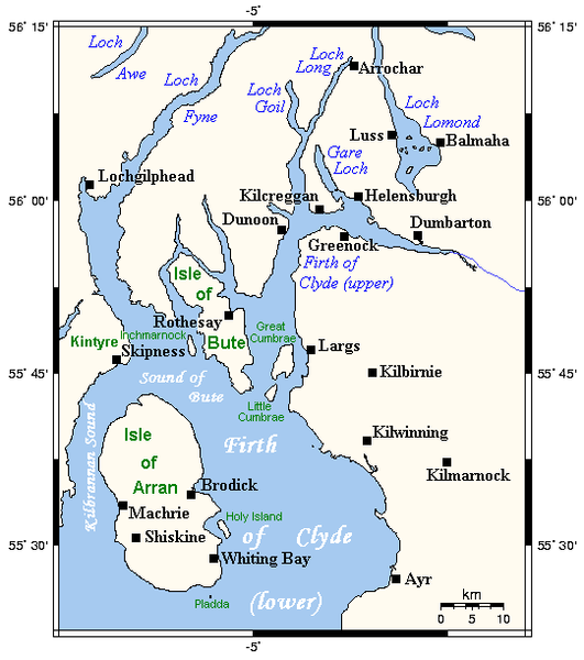
| nuvarande | 29 september 2006 kl. 09.59 |  | 541×611 (18 kbyte) | Voyager | (Map of the Firth of Clyde and surrounding lands and waters on the western coast of Scotland. This map's source is [http://www.aquarius.geomar.de/omc/make_map.html here], with the uploader's modifications, and the [http://gmt.soest.hawaii.edu/ GMT homepag) |
Fillänkar
Följande sida länkar till den här filen: