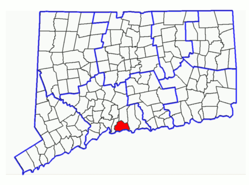
Fil:BranfordCtLocatorMap.png
Från Rilpedia

Storlek på förhandsvisningen: 800 × 594 pixel
Högupplöst version (936 × 695 pixel, filstorlek: 79 kbyte, MIME-typ: image/png)
Filhistorik
Klicka på ett datum/klockslag för att se filen som den såg ut då.
| Datum/Tid | Miniatyrbild | Dimensioner | Användare | Kommentar | |
|---|---|---|---|---|---|
| nuvarande | 16 augusti 2007 kl. 23.01 |  | 936×695 (79 kbyte) | Karlhahn | ({{Information |Description=Subject: Map of Connecticut Townships with Branford highlighted. Derived from sub-county SVG map of Connecticut at [http://libremap.org/data/boundary/ Libre Map Project] using Adobe SVG viewer and Gimp 2.2.1.3 |Source=Derived f) |
Fillänkar
Följande sida länkar till den här filen: