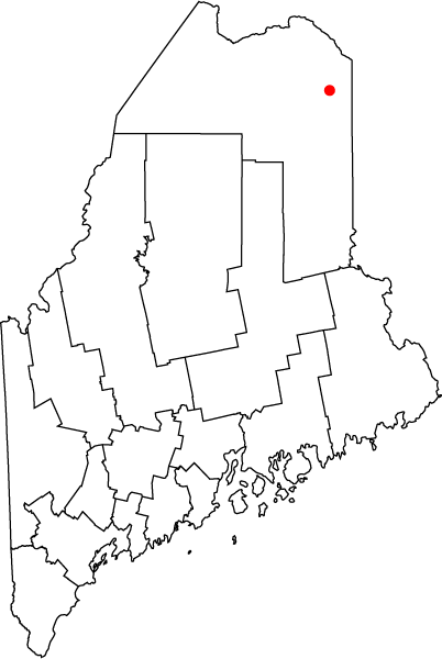
Fil:Map of Maine highlighting Caribou.png
Från Rilpedia

Det finns ingen version med högre upplösning.
Map_of_Maine_highlighting_Caribou.png (402 × 600 pixel, filstorlek: 18 kbyte, MIME-typ: image/png)
Filhistorik
Klicka på ett datum/klockslag för att se filen som den såg ut då.
| Datum/Tid | Miniatyrbild | Dimensioner | Användare | Kommentar | |
|---|---|---|---|---|---|
| nuvarande | 7 december 2005 kl. 13.20 |  | 402×600 (18 kbyte) | Bastique | (Map of the state of Maine with County Outlines, highlighting the city of Caribou. Category:Maps of Maine en:Image:Map_of_Maine_highlighting_Caribou.png == Licensing == {{PD-self}} ) |
Fillänkar
Följande sida länkar till den här filen: