Fil:Map 1914 WWI Alliances.jpg
Från Rilpedia
Storlek på förhandsvisningen: 759 × 599 pixel
Högupplöst version (1 682 × 1 328 pixel, filstorlek: 615 kbyte, MIME-typ: image/jpeg)
Filhistorik
Klicka på ett datum/klockslag för att se filen som den såg ut då.
| Datum/Tid | Miniatyrbild | Dimensioner | Användare | Kommentar | |
|---|---|---|---|---|---|
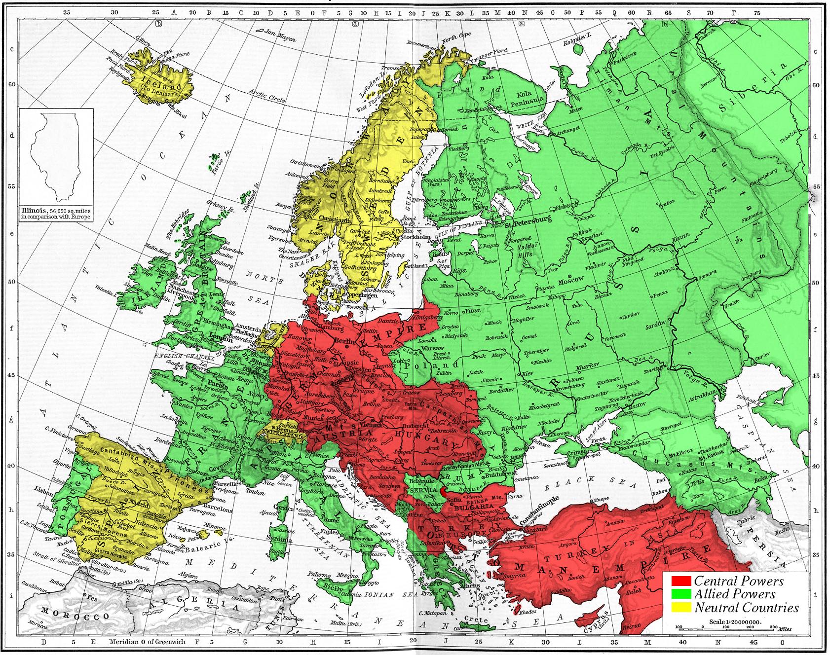
| nuvarande | 6 november 2005 kl. 15.09 | | 1 682×1 328 (615 kbyte) | Knutux | (Map of Europe's alliances in 1915. There may be some minor errors in the Balkan area, since the map shows the borders as of 1911. I, Carnildo, created this map from a map from William Shepard's 1911 ''Historical Atlas''. The o) |
Fillänkar
Följande sida länkar till den här filen: